Sussex weather: 'Chance of thunder' and 'risk of strong winds' expected; rain to continue for weeks
and live on Freeview channel 276
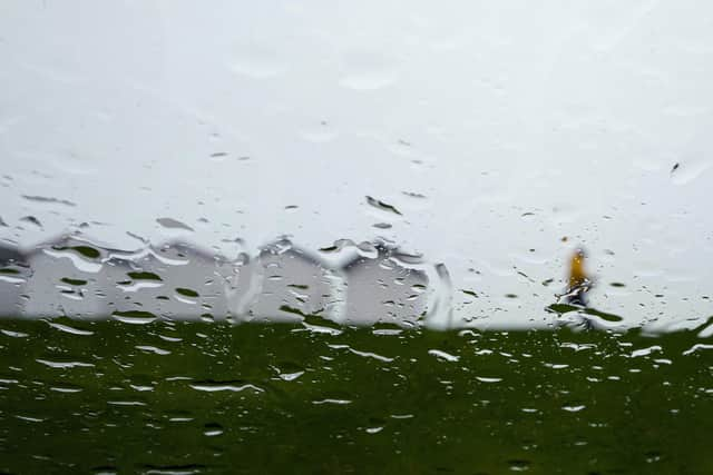
Sussex may have escaped the worst of Storm Babet – which has hit Scotland and the north of England the hardest – but heavy rainfall is here to stay.
The Met Office’s forecast for Saturday (October 21) read: “Generally cloudy with scattered showers, these sometimes heavy with a chance of thunder.
Advertisement
Hide AdAdvertisement
Hide Ad"There is a risk that the showers could become prolonged, and locally very heavy, especially across southeastern areas. Strong winds easing along the coast. Maximum temperature 16 °C.”

Showers, or longer spells of rain, are expected to ‘move away eastwards this evening’. Clear spells will follow, ‘perhaps allowing temporary patchy fog’ to form, before patchy cloud and isolated showers arrive. Temperatures will drop to four degrees Celsius.
The forecast comes after a flood alert was removed for Cuckmere River. The UK Government’s Environment Agency warned on Friday that ‘flooding was possible’ from the river, which rises near Heathfield in East Sussex.
The alert read: “Monitor local water levels and weather conditions. Avoid using low lying footpaths or entering areas prone to flooding. Start acting on your flood plan if you have one."
Advertisement
Hide AdAdvertisement
Hide AdThe warning for the river – and its tributaries from Vines Cross to Exceat Bridge – was removed at 10.40am on Saturday.
Looking ahead to Sunday – and the early part of next week – a Met Office spokesperson said: “Patchy cloud and bright or sunny spells, along with a few showers. The showers are most likely across southern areas, especially along the coast. Rather warm for many areas. Maximum temperature 16 °C.
“Monday dry and bright, then later in the day or overnight heavy rain probably spreads north. Tuesday and Wednesday further spells of sometimes heavy rain are likely at times.”
The end of next week is ‘likely to remain unsettled’, the Met Office said, with more rain expected ‘in many areas’ – as well as the ‘risk of strong winds’.
Advertisement
Hide AdAdvertisement
Hide AdThe weather experts wrote: “The heaviest rain is perhaps more likely across southern areas by this time, with gales possible through the English Channel, and temperatures will be around normal for the time of year.”
The weather forecast for the end of October and beginning of November reads: “Most likely remaining unsettled with spells of wet and windy weather coming in from the southwest for the remainder of the period.
"However, occasional easterly flow across northern areas may bring further heavy rainfall over some hills in the northeast, and elsewhere showers are possible almost anywhere. Temperatures probably remaining around average, with a gradual fall as the season progresses.
Chris Almond, a meteorologist at the national weather service, said the ‘unsettled conditions’ will continue until mid-November.
Advertisement
Hide AdAdvertisement
Hide Ad“This means further rain in most areas, probably heaviest in the south or southwest,” he said.
"Strong winds are expected to be associated with the rain at times, with the ongoing risk of gales, fairly typical for this time of year. Further into November, increasing spells of settled dry weather are a little more likely than before, especially in the north, and should these occur, winds could come from a more easterly direction, which could bring lower-than-average temperatures, but only a low risk for now.”